Introducing Satlas, Open Geospatial Data Generated by AI
We're thrilled to introduce Satlas, a brand new platform from AI2 for exploring global geospatial data generated by AI from satellite imagery. Currently, Satlas includes three data products that are updated monthly: marine infrastructure, renewable energy infrastructure, and tree cover. Timely geospatial data is critical for informing decisions in emissions reduction, disaster relief, urban planning, and more. We anticipate that the geospatial data products in Satlas will be useful for a wide range of planetary and environmental monitoring applications.
Senator Maria Cantwell (D-WA) gathered leaders in artificial intelligence in Seattle to discuss the industry's growth and potential useful regulations. AI2 CEO Ali Farhadi was one of the featured speakers at the central forum for the gathering, emphasizing that openness is crucial for safe and positive industry growth. KUOW covered the event.
OLMo’s First Artifact, Dolma, Is Open for Training
AI2's OLMo team has introduced Dolma, an open dataset and the first artifact associated with the project. Researchers hope that Dolma will facilitate the study of large language models and their behavior, and instigate a trend in transparency across AI projects.
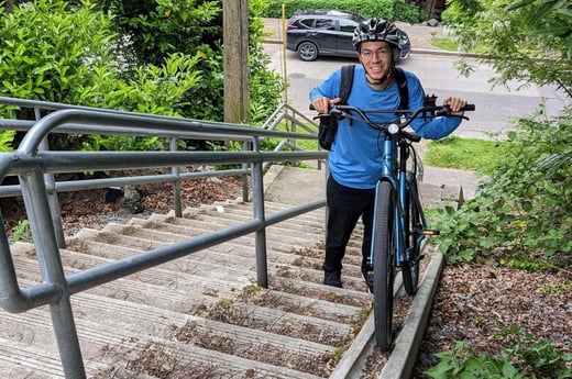
Favyen Bastani, the lead research scientist on PRIOR's Satlas project, enjoys practical applications of geospatial data — and the many wonderful bridges of Seattle! Meet Favyen and learn about his career journey in our latest Featured AI2er profile.
Every year, AI2 hosts a Hackathon for its employees to encourage cross-team collaboration and scrappy workflows to produce fun, exciting, and interesting projects for the common good. Check out the AI2 blog for a retrospective on Hackathon 2023.